


Thousands of metres above the hot and humid jungles of East Africa are the Rwenzori glaciers. It wasn’t until I picked up a magazine at an airport about a decade ago that I even knew Africa had glaciers, let alone equatorial ones, where snow and ice feel almost impossible.
While the glaciers are quite cool, I really made the trip to these mountains because they’re home to one of the strangest alpine landscapes on Earth. Above 4000 metres lies an ancient world of giant prehistoric plants, endless bogs, and icy peaks.
In this video and written article, we’ll spend five days hiking through the vegetation zones of the Rwenzori Mountains – from dense tropical jungle to bare rock high above the clouds. This should give you a sense of what it’s actually like to trek through one of Africa’s most surreal mountain ranges.
Kilembe to Sine Camp
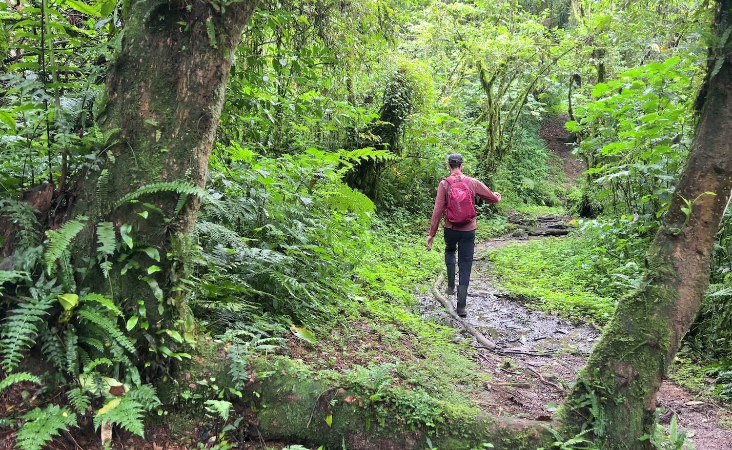
The first vegetation zone of the Rwenzori Mountains is the evergreen forest. This ecosystem is common throughout the region and hosts countless flowers and an explosion of butterflies. It’s not exactly peaceful in here; the noise of cicadas can be deafening.
We saw black and white colobus monkeys playing in the trees, along with curious blue monkeys, and speedy squirrels running up and down limbs. Against the green forest backdrop, we witnessed bright flashes of crimson erupting through the canopy whenever turacos took flight. There are chimpanzees in these forests too, and while I wasn’t so lucky this time, I did stumble upon some in a nearby forest and was shocked at just how loud they are in real life.
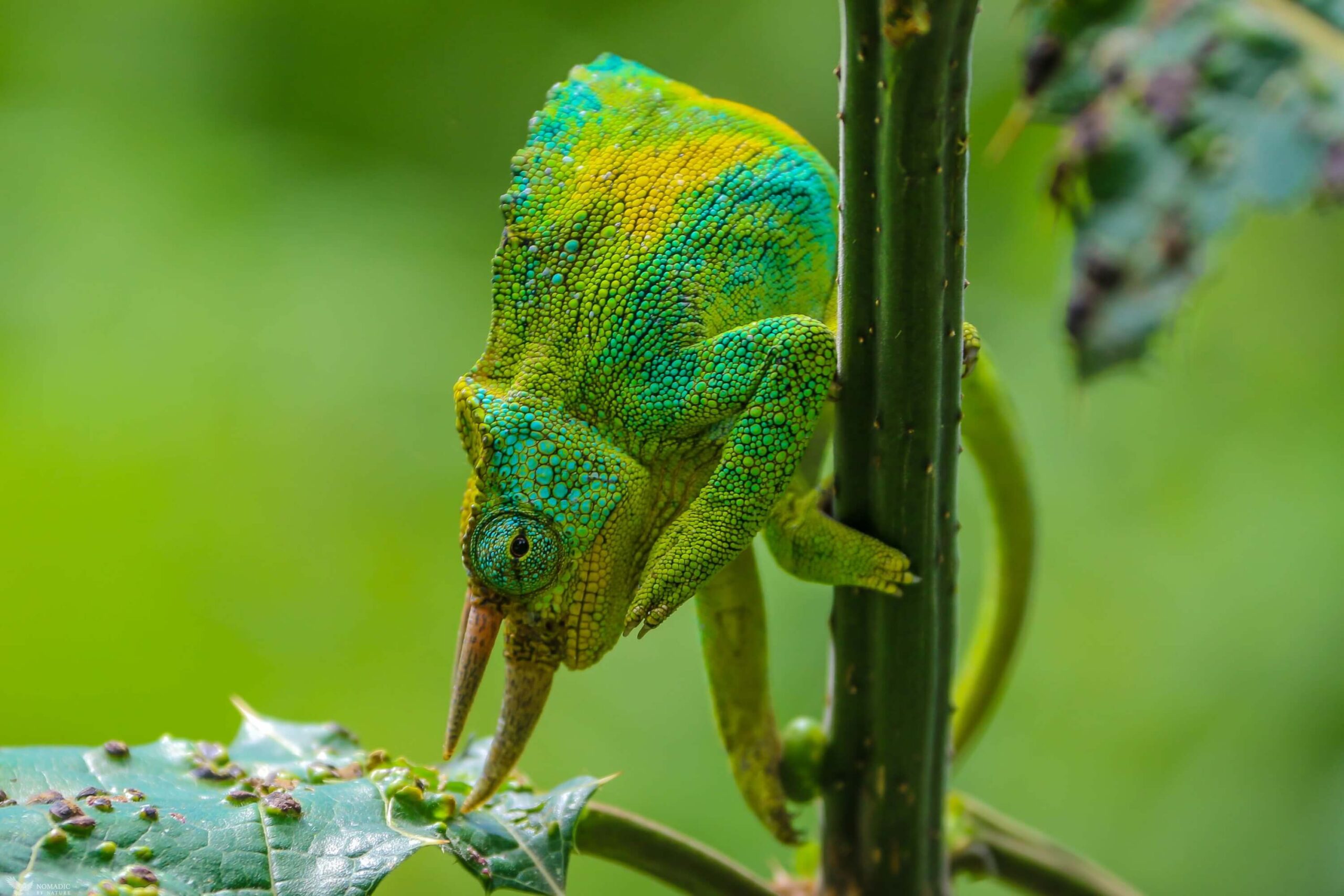
The ant colonies in the Rwenzoris were unbelievable. You could sometimes see millions and millions of them covering the ground as far as the eye could see. In terms of reptiles, I managed to find a lone chameleon, although it’s the colourful horned chameleons that I have my sights set on seeing.
It wasn’t long until the light rain stopped, and by now the hiking became very picturesque. Small streams criss-crossed the trail, and every tree was draped in mosses and lichens of every imaginable texture. Fungi exploded from every fallen branch, while giant ferns, tangled vines and strange tropical fruits crowded every patch of forest floor.
Sine Camp to Mutinda Camp
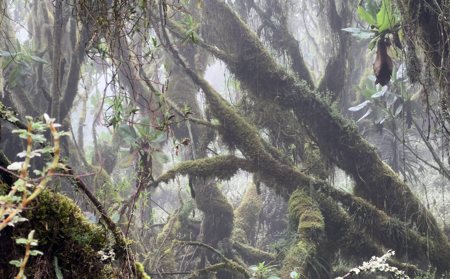
As we climbed up in elevation, clouds rolled in around us, and we were now in the bamboo zone.
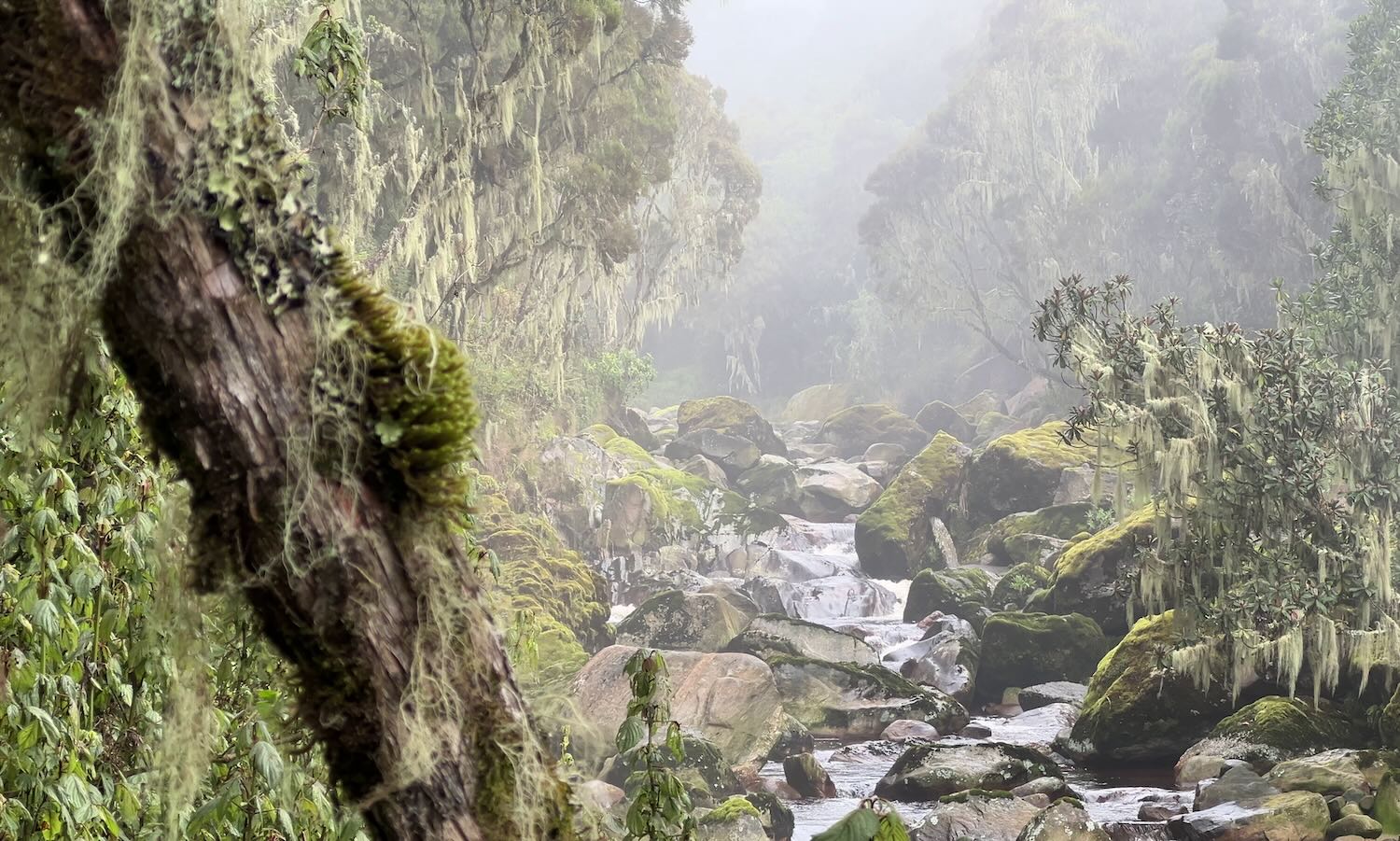
Any panoramic views were now gone, with mist covering over trees draped in bearded moss. This gave the forest an enchanted feel; you almost expect to find a fairy sitting on a toadstool somewhere. And hidden amongst all of this enchantment was evidence of an apex predator with an almost mythical presence in these mountains. We found the poo of a leopard!
The bamboo forest slowly gave way to a ghost forest of giant heather trees. Their twisted branches were sometimes buried beneath moss so thick and soft that it seemed impossible the branches could support the weight. Some hanging plants even resembled underwater coral reefs more than anything terrestrial. Old ladders and bridges made traversing the terrain that little bit easier, and their state of disrepair only made the forest feel more magical.
The Rwenzoris are known locally as the rain maker, and they have a well-earned reputation for being relentlessly wet. With permanent soil moisture and ancient peat underneath, the mountains support some botanical wonders.
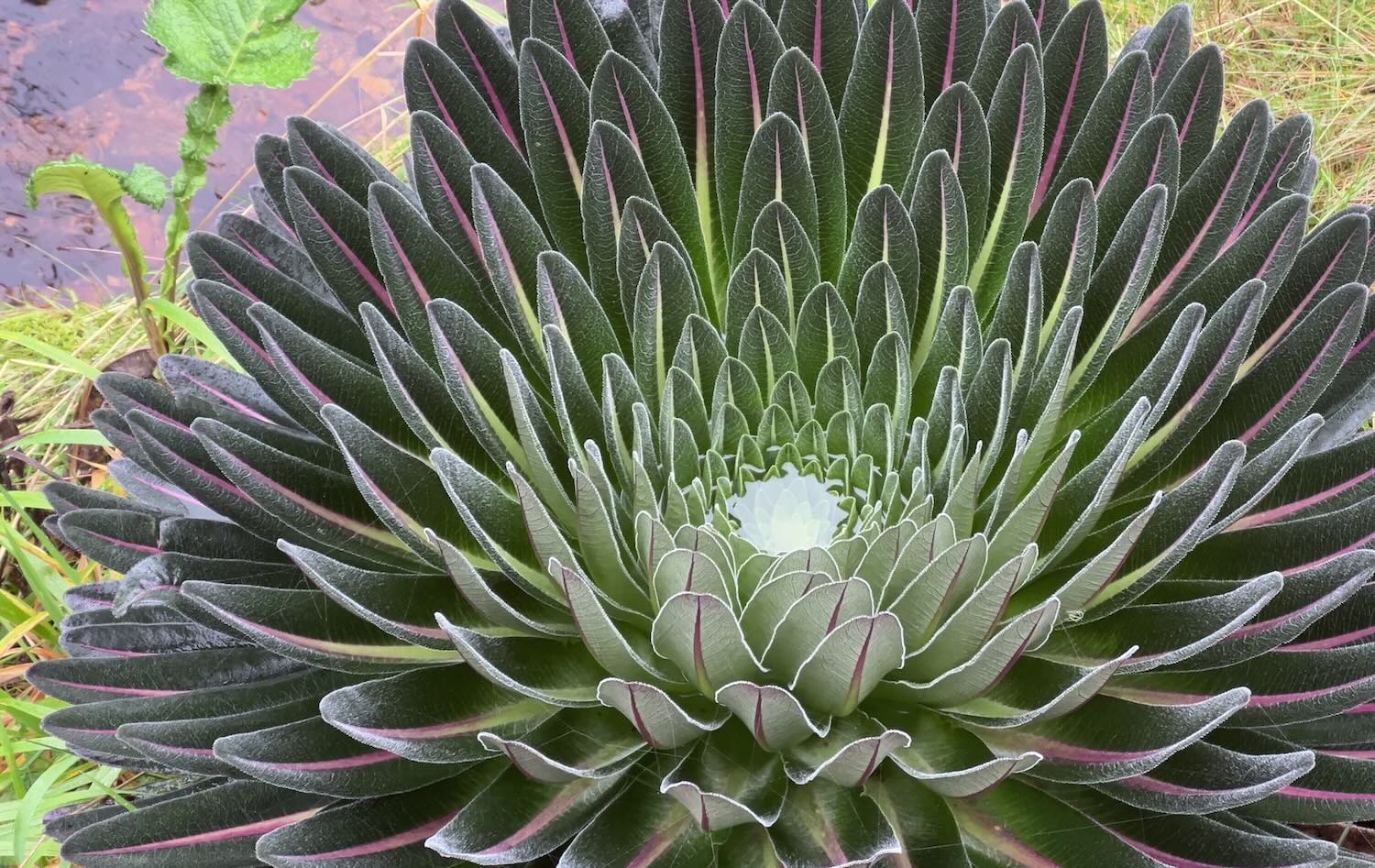
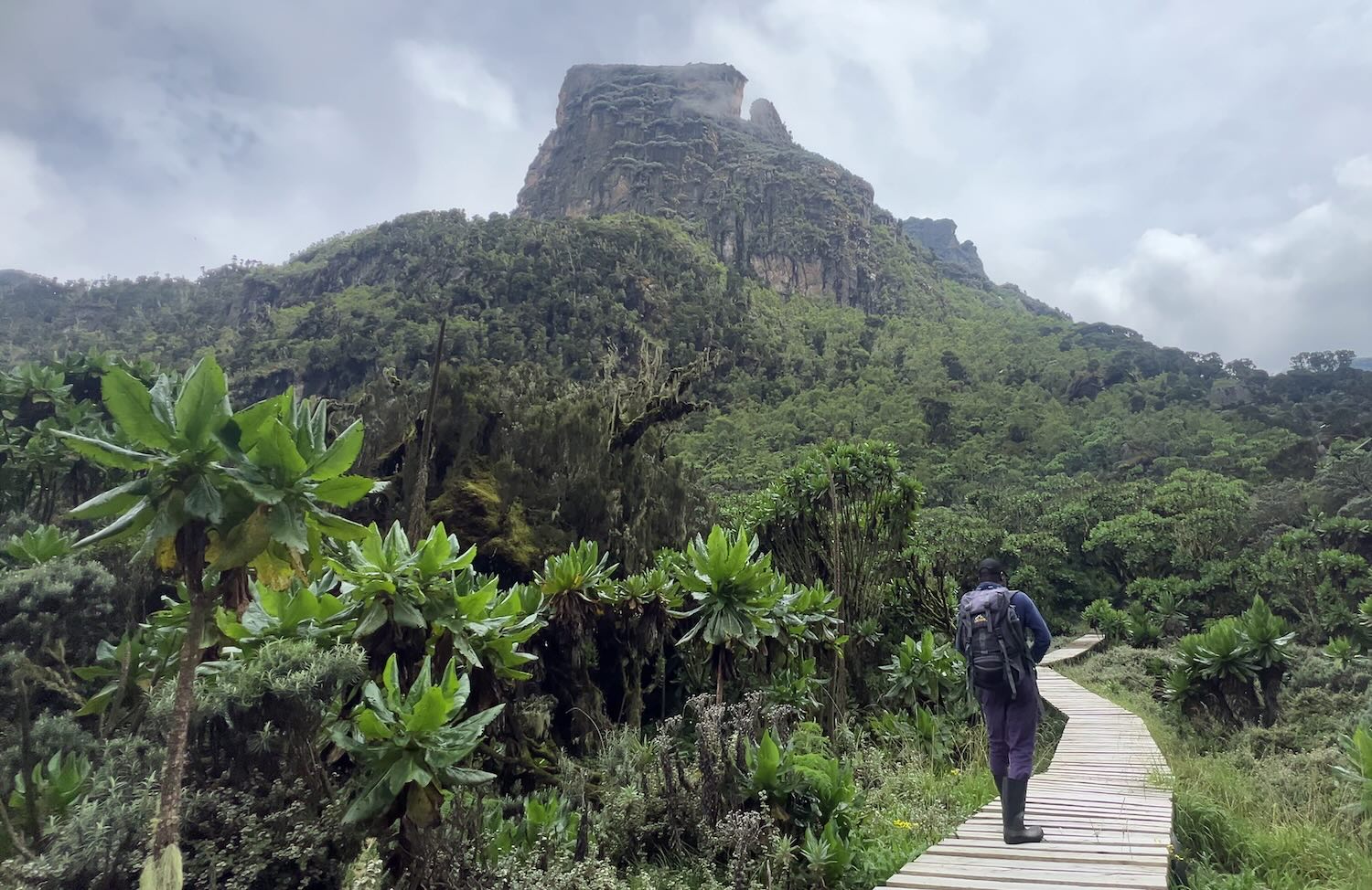
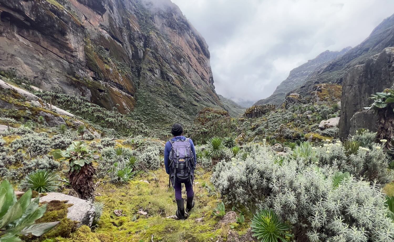
The giant lobelia can exceed a metre in diameter, and its overlapping strap-shaped leaves are arranged with mathematical precision, helping the plant survive nightly freezes at these elevations. These plants are sometimes called living thermoses because water trapped within the rosette can remain unfrozen long after temperatures drop below zero. And when flowering, the lobelias send giant spikes three or four metres into the air, forming dense towers of alien-looking flowers emerging through the mist.
The valley opened up, and the clouds lifted just enough to reveal rocky towers rising around us. It was the first time the landscape truly felt grandiose — and it wouldn’t be the last.
Ultra fluffy rock hyraxes sat on the side of the trail pretending we didn’t exist as they took in rare moments of sunshine.
Unfortunately, there was little to see at Mutinda lookout, but we waited out the clouds for a short while to see the interesting rock formations and the epic boardwalks up the boggy valley ahead.
These mist-covered mountains are actually thought to be the legendary Mountains of the Moon, described more than 1,500 years ago by the astronomer Ptolemy, who believed they were the source of the Nile. While they may no longer be considered the Nile’s furthest or largest source, they are almost certainly its highest.
Mutinda Camp to Bugata Camp
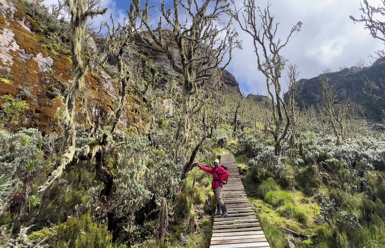
At these high altitudes, the boardwalks are extensive. On a crisp, clear morning like this, with sunbirds darting between frost-covered lobelia flowers, these boardwalks must be one of the most spectacular trekking experiences anywhere in Africa.
These bog bridges protect the underlying peat from damage, helping to preserve the sensitive ecosystem. On the sections without them, I actually felt quite guilty stepping on plants that could take an entire decade to rejuvenate.
Clouds typically build mid-morning, so we were back in the misty, enchanted forests once again.
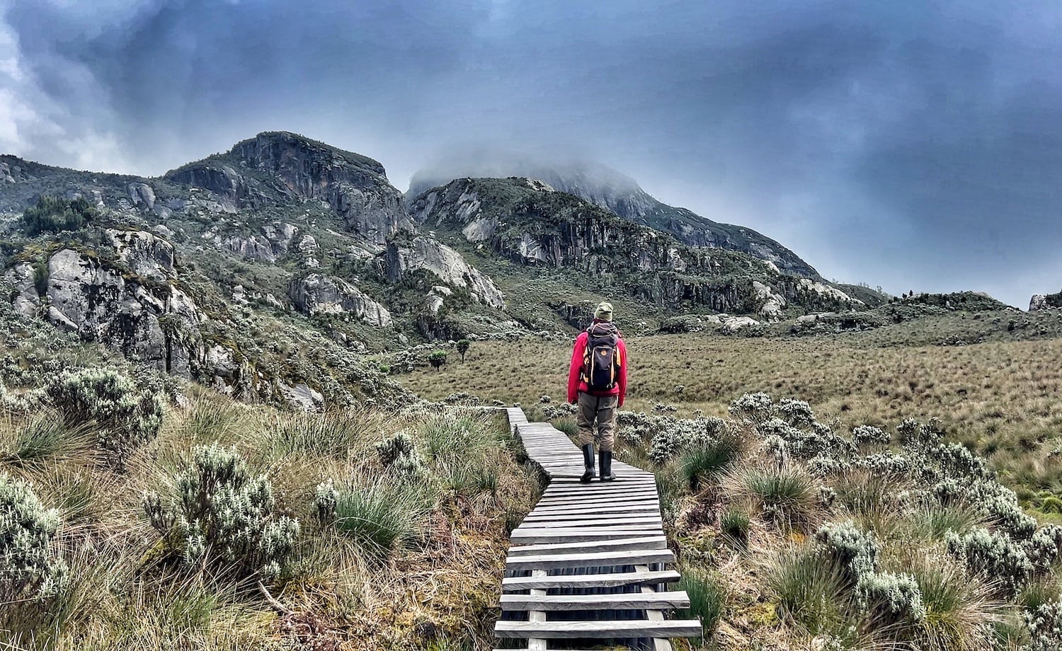
In the afro-alpine moorland, tussock grasses take over. You need to jump from tussock to tussock, as there is no other way to avoid the deep mud between them. It genuinely takes all of your concentration to avoid losing a rubber boot to the bog, and with noticeably less oxygen at 4000 metres, it becomes surprisingly exhausting.
Of course, this is much more difficult for the porters, who have to carry significantly more gear than us.
Bugata Camp to Kiharo Camp
Our earliest start came on day four, when we set off to summit Weismann’s Peak. The temperature hovered around freezing, with frost coating the ground, and the sound of crunching footsteps echoing through the valley. As the sun rose, the lakes below turned glassy and perfectly still, reflecting the alpine peaks towering above them with mirror precision.
Higher up, the endless mud finally disappeared, and the trail became a scramble over giant boulders and fractured rocks. Lobelias and groundsels filled narrow ravines, perched atop moss-covered boulders that had likely crashed into the ravine millions of years ago.
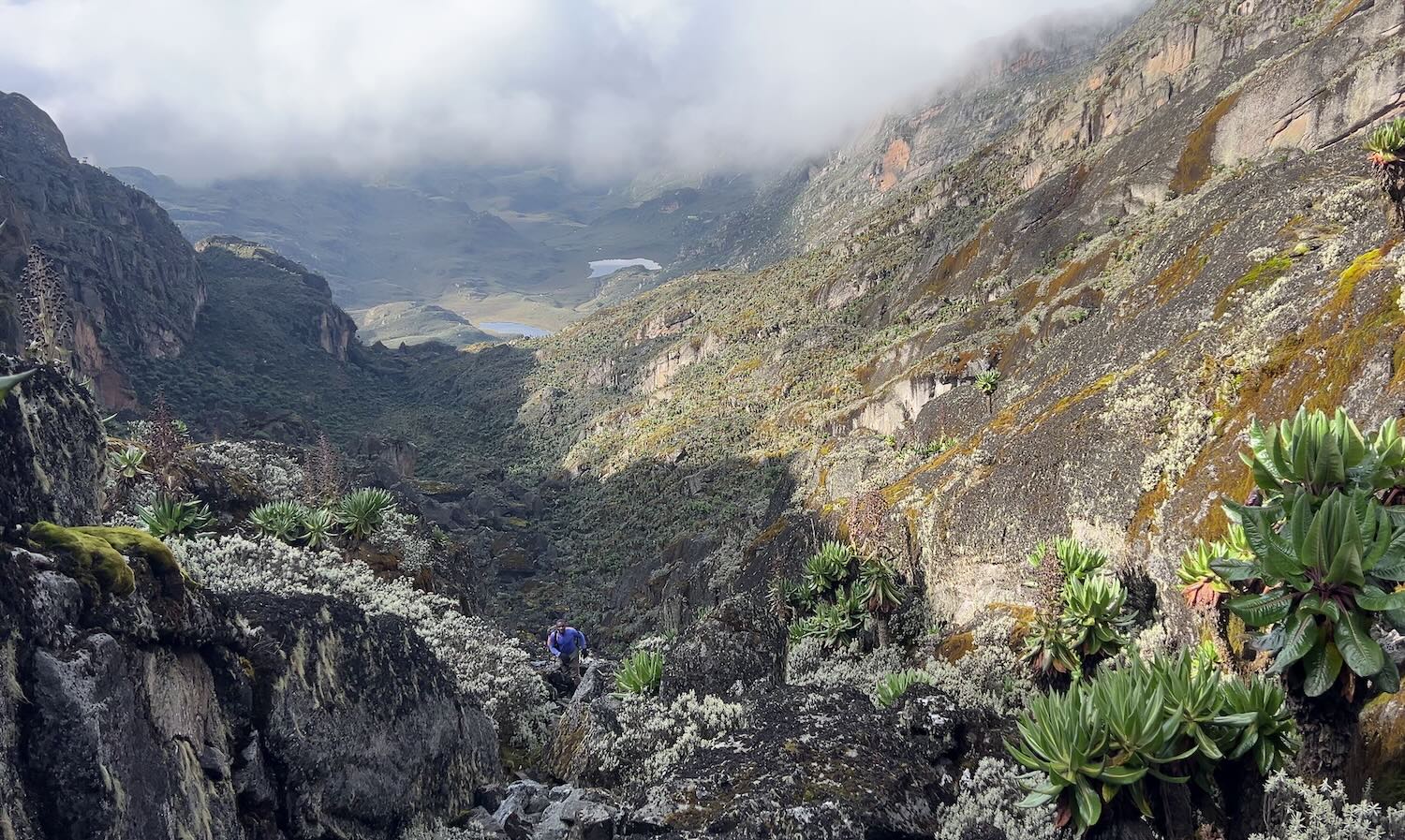
At this altitude, every step felt noticeably harder. The reduced oxygen slowed everything down, and the route occasionally vanished amongst the rocks entirely. But every time the clouds briefly opened, the view down to the lakes below was enough to keep pulling me upward.
The transition from the final struggling groundsels to bare rock and ice is abrupt. It’s a biological frontier of sorts — the point beyond which no shrub or tree can survive.
Weismann’s Peak didn’t quite have the glacier views I was hoping for, but I occasionally caught them reflecting faint light back through the clouds. Like glaciers almost everywhere on Earth, the ice atop the Rwenzoris is disappearing rapidly.
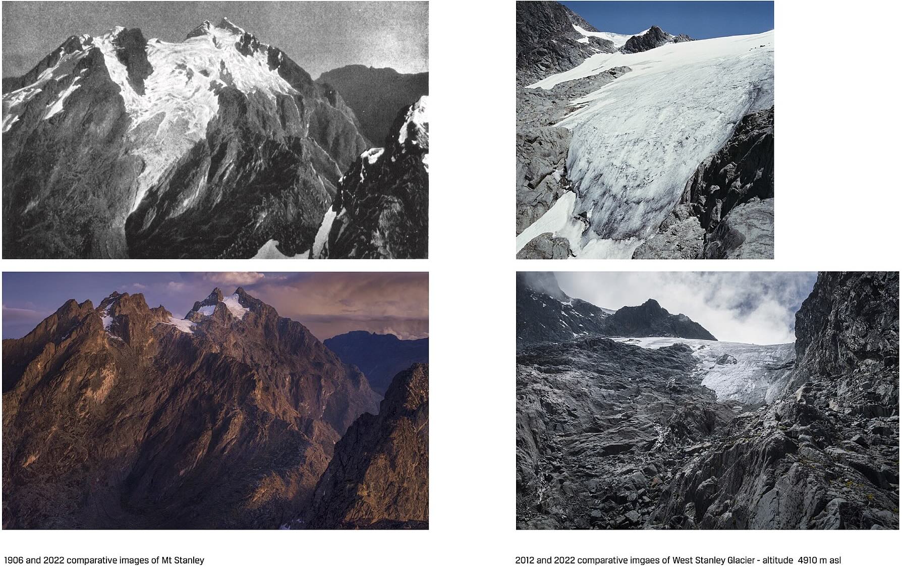
The above photographs show how dramatically a glacier on Mt Stanley has retreated over the last century. But even more alarming is how much the West Stanley Glacier has vanished in just the last ten years alone. If you want to see Africa’s last glaciers for yourself, you genuinely need to come soon. Many scientists believe they could disappear entirely within the next decade.
The descent from Weismann’s peak follows a distinctly worn rock pathway past small ponds and larger lakes. The cliffs surrounding the valley almost looked geometric at times, before the trail disappeared once again into deep rock ravines that funnel water from the highest lakes down to the flatlands.
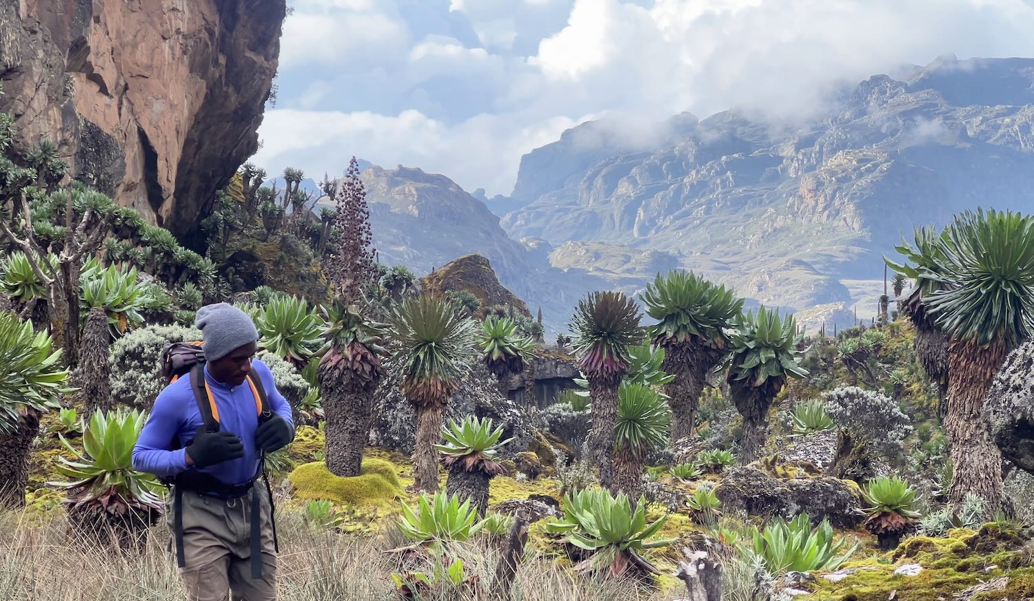
Whenever the valleys opened up, the scenery became almost absurdly dramatic. Jagged cliffs with water flowing down them rose above the lakes, and giant plants filled the valley floor. At times, it felt less like hiking through Africa and more like wandering through the set of a science fiction film.
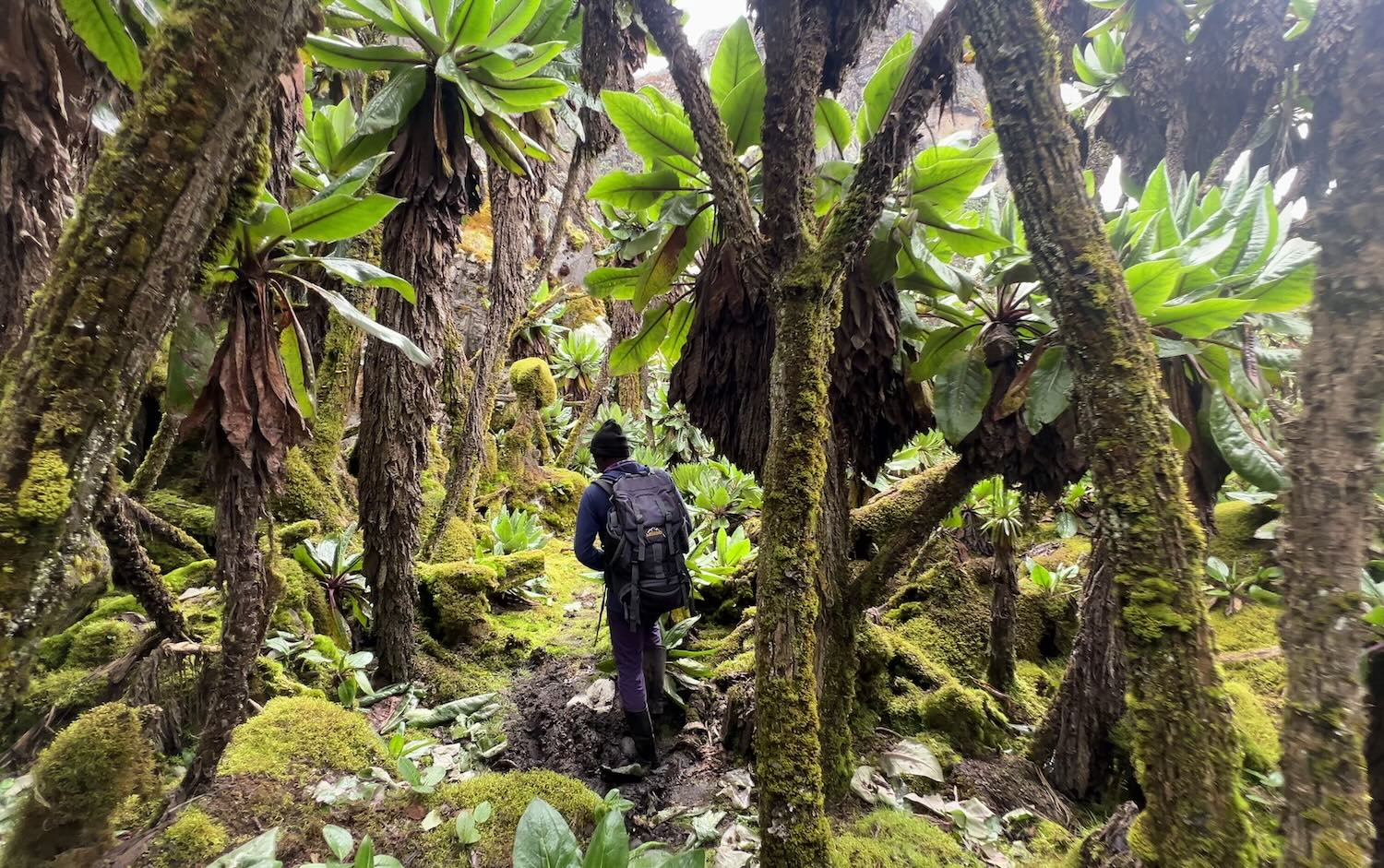
The densest stands of tree groundsels were found at high altitude. I’ve mentioned these plants a few times now; their silhouette is unmistakable: they have a cabbage-like crown atop a shaggy, dead-leaf trunk. The plant retains its old leaves as insulating armour around the stem. These groundsels grow as tall as six metres, and people often compare them to something out of the movie Avatar.
Heather trees were mixed into the landscape, supporting a diverse microcosm of mosses, lichen and fungi.
Kiharo Camp to Kilembe
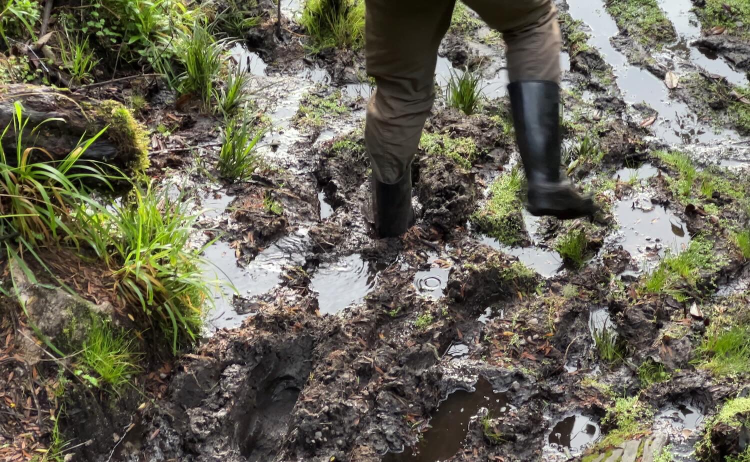
The final day started off incredibly muddy, but by now, I was getting used to finding the firmest places to place my feet. My skills in the mud are nothing compared to my guides, who knew the trail so well they could find all the rocks, logs and grasses completely submerged under water.
Perhaps it was because we were moving fast, or maybe it was because we’d already spent a lot of time in the lower vegetation zones, but the valley we descended didn’t feel as magical as just days earlier. There were still flashes of brilliance, and the cascading waterfalls were spectacular at times. But in place of trees, dense three-metre-high bushes have now taken over parts of the national park, choking out almost everything beneath them. This was much more prevalent in this valley than in the one we climbed.
Still, it felt great to see the myriad of birds, monkeys, butterflies and flowers reappear as we moved down through the vegetation zones.
Most hikers know about Mount Kilimanjaro, and some know about Mount Kenya. But very few know that the Rwenzori Mountains are also snow-capped, equatorial, greater than 5000 metres tall… and far wilder.
The Rwenzoris remain relatively untouched because they’re difficult, wet, remote, and logistically complicated. But those exact challenges are also what make the experience feel so special.
Ultimately, all of it feels worthwhile for the chance to walk through landscapes this unique and to witness Africa’s last remaining glaciers before they disappear forever.
Notes on the Rwenzori Mountains Hike
Travelling here with the mandatory expedition team can initially feel excessive, especially if you’re used to hiking independently. But the system employs huge numbers of local porters and guides, it supports nearby communities, and limits the overall number of hikers entering these fragile high-altitude ecosystems.
Expect to pay around US $200 per day to be in the Rwenzori Mountains, including the national park fees, guides, meals, accommodation etc.
You may have noticed that I’ve been wearing rubber boots for the entire hike. These are provided when you arrive, and are more-or-less essential above 3500 metres. After wearing them for a while, I ended up developing a serious respect for them. They have excellent grip and relatively decent breathability due to the large opening at the top. I never got any blisters from them, but I will say the bottoms of my feet were a bit tender after the long descent on the final day.
There are three main routes through the Rwenzori Mountains: the Central Circuit (run by Rwenzori Mountaineering Services), the Bukurungu Trail (run by Bujuku Eco Tours), and the Kilembe Trail (run by Rwenzori Trekking Services). The route featured in this article is the Kilembe Trail.
From what I’ve heard, all three hikes are equally rewarding, although the Bukurungu Trail requires camping instead of staying in huts. This will be something that will either attract or deter certain hikers!
